About Nautical Charts — OsmAnd
Nautical Charts — OsmAnd is an extension for OsmAnd Maps & Navigation app that provides free nautical charts for offline use. This sea map will be your reliable companion whether you are going fishing or planning a sea...
Nautical Charts — OsmAnd is an extension for OsmAnd Maps & Navigation app that provides free nautical charts for offline use. This sea map will be your reliable companion whether you are going fishing or planning a sea travel.
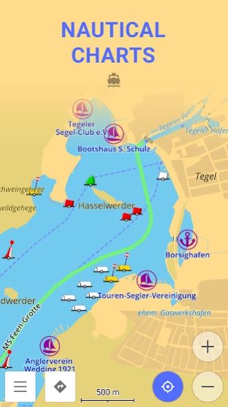
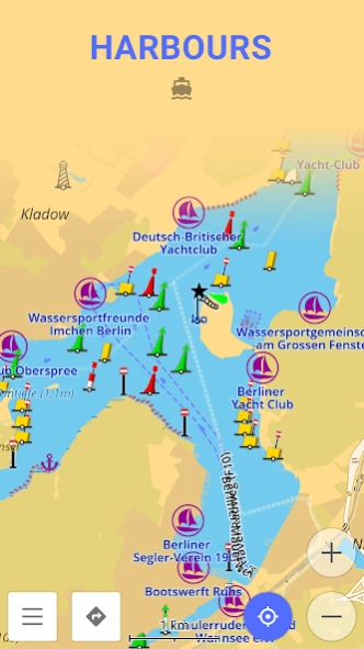
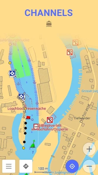
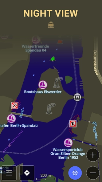
Nautical Charts are a detailed graphical representation of oceans, seas, coastal areas, and rivers. The charts can contain various information like sailing routes, navigation lights, dangerous areas, areas where it's allowed or not allowed to sail or dock, etc.
These maps are also supplemented with the information about the depth contours and nautical depth points that add valuable layers of data to the map.
All the professional sailors are obliged to have official marine charts
on their ships. These charts are published by authorized agencies and cost quite some money. Agencies are investing a lot in keeping the charts up to date. They release updates for the charts on a regular basis, but because of the fact that reviewing the information and processing the updates takes quite some time, the nautical charts are never completely up-to-date.
Nautical charts by OsmAnd are based on the data from the OpenSeaMap project. The idea of the project is to build the detailed map by people who actually use it. Every user of the map can contribute by adding changes to it making it more detailed and more accurate.
While OpenSeaMap charts at the moment cannot compete with official nautical charts, they can be used by recreational sailors for orientation or route planning. This plugin does not provide nautical navigation but it is your offline reference tool that can be used together with other navigational programs.
Usage Instructions: it is highly recommended to download nautical basemap in order to see the maps regardless of detailed map presence. Nautical charts are provided as a map and a special style, to switch style in OsmAnd please use the menu item 'Configure Map' on the map screen.
Previous Versions
Here you can find the changelog of Nautical Charts — OsmAnd since it was posted on our website on 2016-12-27 01:52:33.
The latest version is 1.0 and it was updated on 2024-04-22 13:13:18. See below the changes in each version.
Nautical Charts — OsmAnd version 1.0
Updated At: 2023-02-13
Changes: Update Target API Level
Nautical Charts — OsmAnd version 1.0
Updated At: 2016-12-27
Changes: * Removed icon from the application list
Nautical Charts — OsmAnd version 1.0
Updated At: 2016-12-12
Changes: * Plugin prompt to install OsmAnd if it is missing
Disclaimer
Official Google Play Link
We do not host Nautical Charts — OsmAnd on our servers. We did not scan it for viruses, adware, spyware or other type of malware. This app is hosted by Google and passed their terms and conditions to be listed there. We recommend caution when installing it.
The Google Play link for Nautical Charts — OsmAnd is provided to you by apps112.com without any warranties, representations or guarantees of any kind, so access it at your own risk.
If you have questions regarding this particular app contact the publisher directly. For questions about the functionalities of apps112.com contact us.